OsmAnd deserves respect: open source, obsessively configurable, with offline vector maps of the whole planet and a plugin for nearly everything. Among power users of OpenStreetMap it is an institution, and nothing in this article argues otherwise.
Maptrails shares a good part of OsmAnd’s philosophy — open map data, custom sources, offline use, everything stored as standard files — but was built from scratch as a native app for iPhone, iPad, Mac and Apple Watch, and is sold as a one-time purchase. If you like what OsmAnd stands for but find it heavy going on an iPhone, this article is the comparison you are looking for.
Where the features overlap
| In OsmAnd | In Maptrails |
|---|---|
| OpenStreetMap vector maps | Official topographic maps from national mapping agencies, from open APIs |
| Contour lines plugin | Topography built into the maps themselves — no plugin needed |
| Custom map sources (online tiles) | Custom Tile Map, WMTS and WMS sources |
| GPX overlays and favorites | GPX tracks and markers with notes and photos, plus GeoJSON and Shapefile layers |
| Offline map downloads | Offline map downloads |
| Trip recording plugin | GPS track recording as GPX, built in |
| Apple Watch support | A native Apple Watch app with offline tracks and custom maps |
Two kinds of open maps
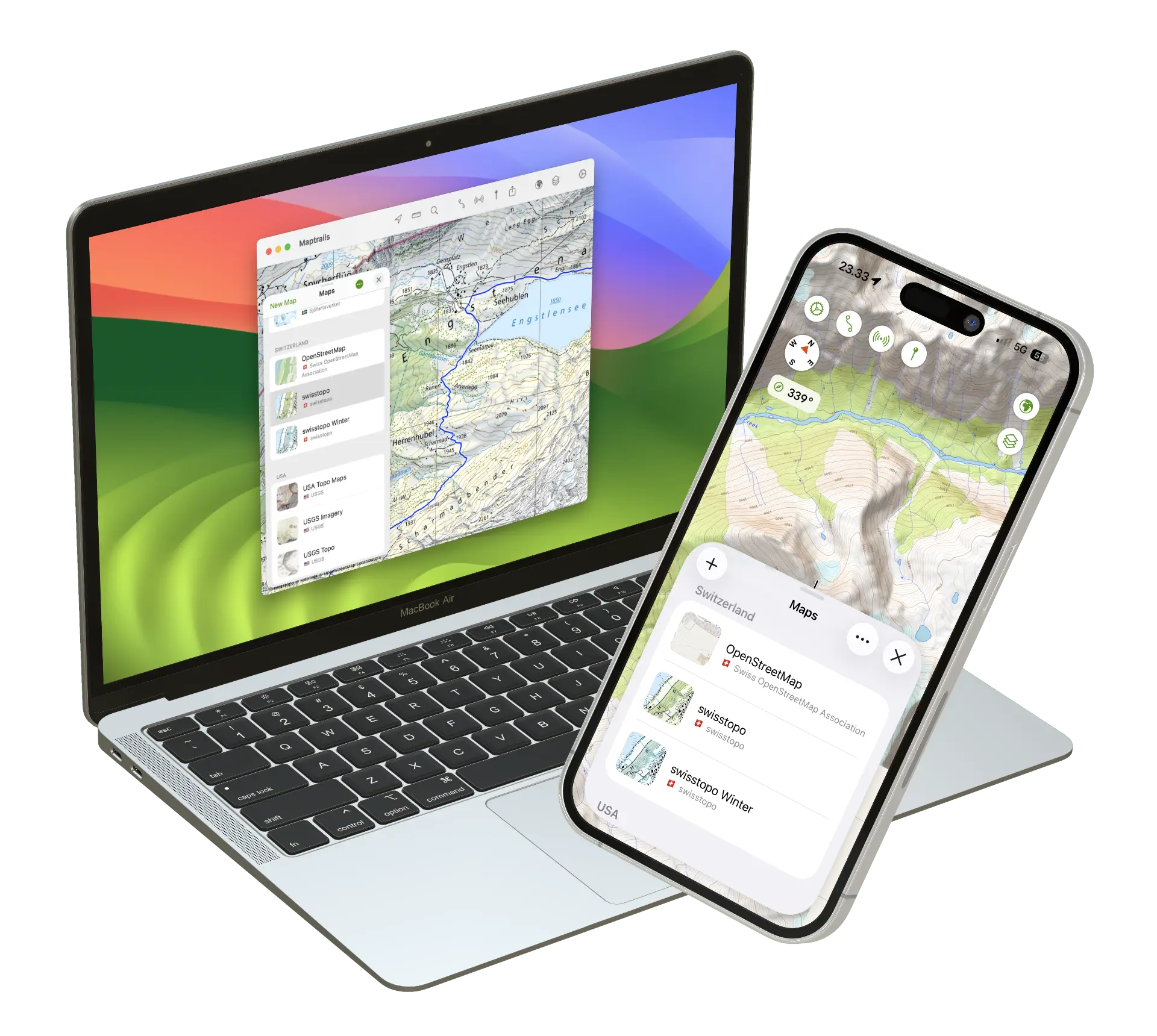
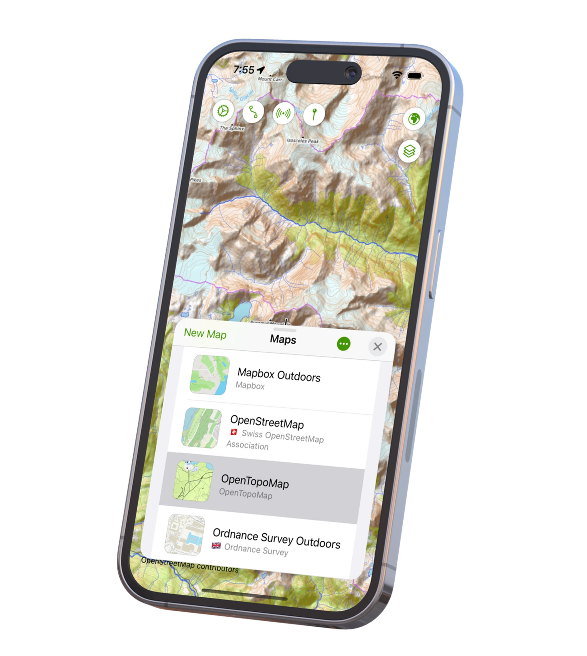
OsmAnd renders OpenStreetMap — community-mapped, worldwide, and in many places extraordinarily detailed. Maptrails instead builds on the official topographic maps that national mapping agencies publish as open data: USGS Topo, Switzerland’s Swisstopo, Norwegian Kartverket, Swedish Lantmäteriet, the Finnish National Land Survey and many others.
These are complementary rather than competing views of the world. OSM often knows about the newest trail; the national agencies map the terrain itself — elevation, marshland, rock fields, depth curves — with surveyed accuracy. Maptrails ships the agency maps ready to use, all free because the data comes from open APIs, and lets you add any tile-based OSM rendering as a custom source alongside them.
Native instead of cross-platform
We get at the heart of the comparison. OsmAnd began on Android, and its iOS version carries that inheritance — menus within menus, settings that mirror the Android app, and an interface that feels foreign next to native iOS apps.
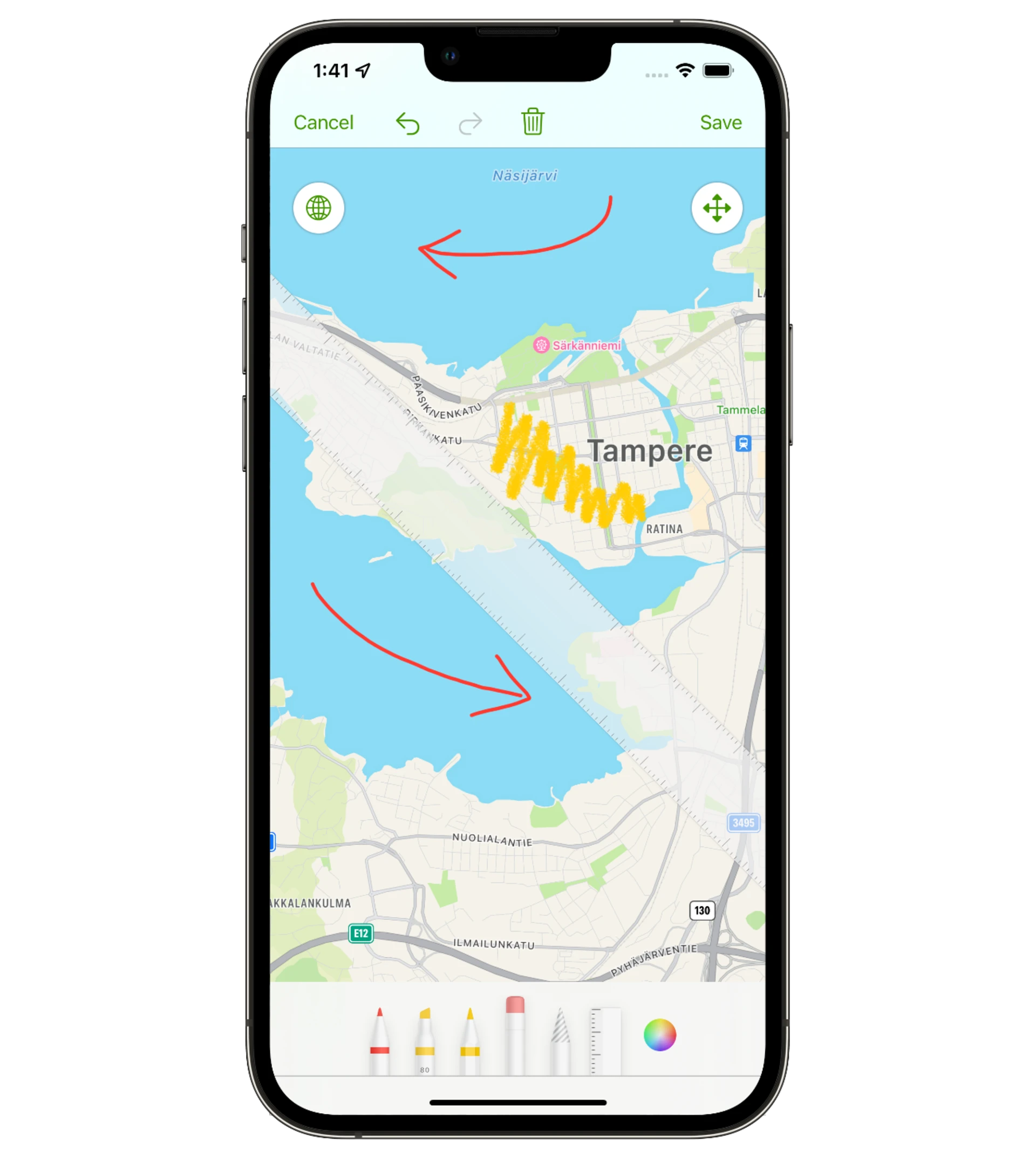
Maptrails is written natively in Swift and UIKit for Apple’s platforms, and it shows in the details: annotate maps with Apple Pencil, save recordings as HealthKit workouts, check Apple Weather forecasts, preview a trail with Look Around, sync everything over iCloud with no account to create. Plan on the Mac’s big screen, walk with the iPhone, glance at the Watch — each app built for its device.
Open formats, no lock-in
Like OsmAnd, Maptrails treats your data as yours. Tracks are GPX files you can import, export and organize in folders; layers come from GeoJSON and Shapefile; custom maps are plain tile URLs. Moving between the two apps — or to any other — is a file copy, not a migration.
Privacy
Both projects take privacy seriously, and Maptrails holds the same line: no ads, no external analytics, only Apple’s built-in, opt-out App Analytics.
What OsmAnd does better
OsmAnd is open source and runs on Android — two things Maptrails is not and does not. It has turn-by-turn navigation for driving, cycling and walking, offline search and geocoding, and a depth of configuration Maptrails deliberately avoids. Editing OpenStreetMap from the field is something only OsmAnd offers. If those capabilities are why you run OsmAnd, it remains the right tool; Maptrails does not try to replace them.
Pricing
OsmAnd’s model spans a free tier with download limits, Maps+ in-app purchases and the OsmAnd Pro subscription, with details that differ between Android and iOS.
Maptrails has one model on every device: a free download, and a single one-time Maptrails Pro purchase that unlocks the full app on iPhone, iPad, Mac and Apple Watch together.
Also compared: AllTrails and Komoot.
Try it side by side
Maptrails is a free download, so you can put the agency maps for your region next to OsmAnd’s rendering and see what each shows about terrain you know. The feature list and FAQ cover the details.