Komoot is a route planner first and a map second, and at planning routes it is genuinely good: pick a sport, set a start and end, and it builds a sensible route with surface types, elevation profile and turn-by-turn voice navigation.
Maptrails starts from the other end. It is a map app — official topographic maps from national mapping agencies on iPhone, iPad, Mac and Apple Watch — that lets you record, draw and annotate your own tracks as standard GPX files, and it is sold as a one-time purchase. This article compares the two: where they overlap, where each is clearly stronger, and how the pricing works out.
Where the features overlap
| In Komoot | In Maptrails |
|---|---|
| One base map | Dozens of official topographic maps from open data sources, plus your own map sources |
| Offline maps and regions | Offline map tile downloads |
| Recorded tours, GPX export | GPS track recording as GPX, with import and export |
| Waypoints and Highlights | Markers with notes and photos |
| Planning on the web | Planning natively on Mac and iPad, synced over iCloud |
| Apple Watch app | A native Apple Watch app with offline tracks and custom maps |
Different maps for different terrain
Komoot’s map is built on OpenStreetMap data with its own rendering. For cycling and popular hiking regions it works well — trail networks are usually complete, and the sport-specific overlays are useful.
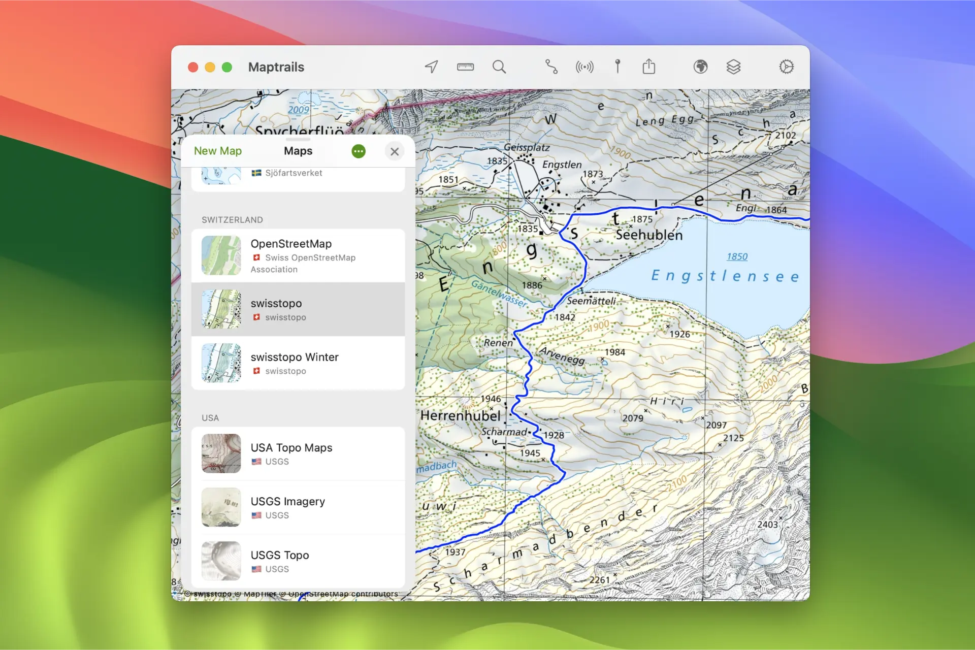
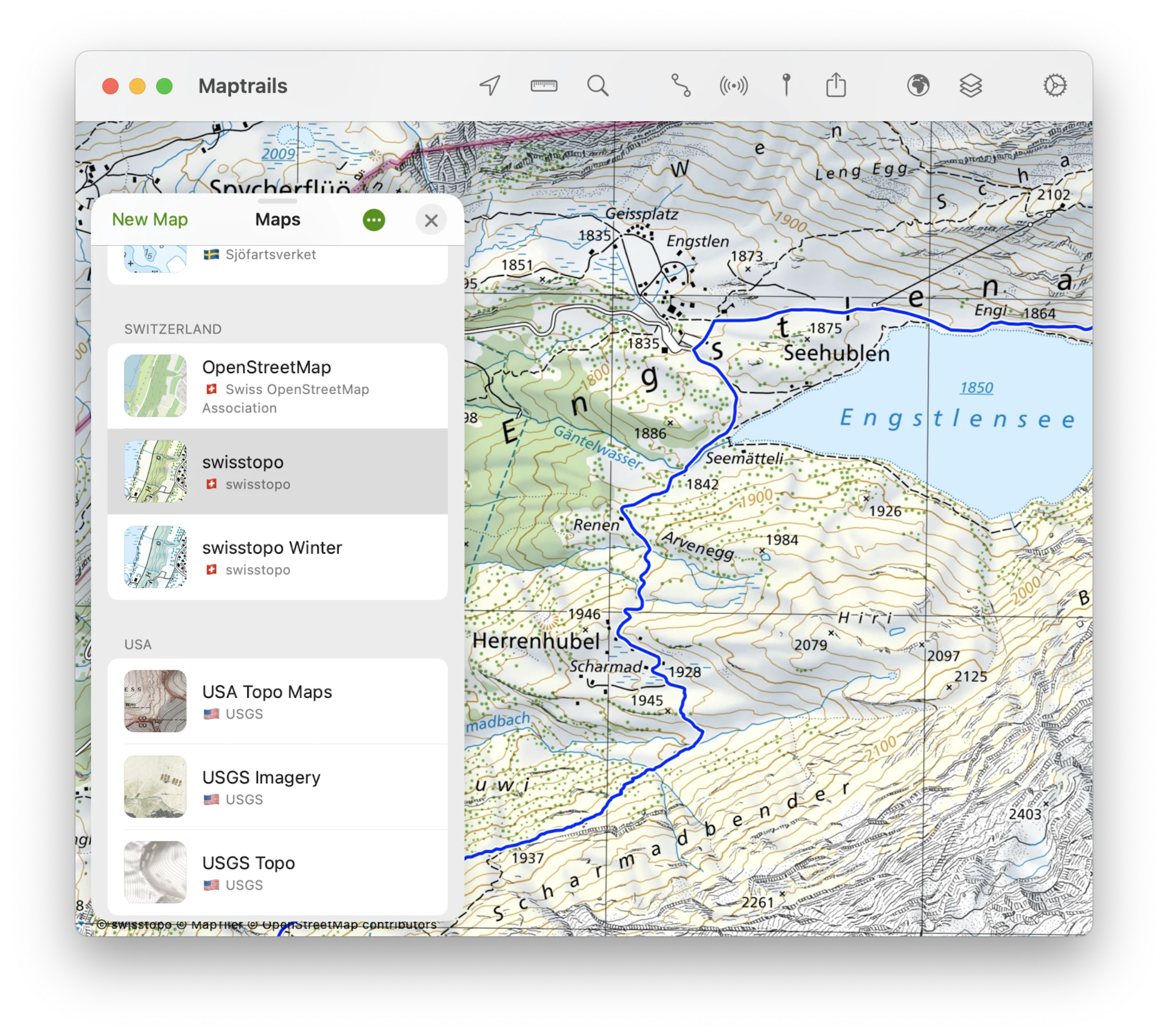
Maptrails instead carries the official topographic maps that national mapping agencies publish openly: USGS Topo, Switzerland’s Swisstopo, Norwegian Kartverket, Swedish Lantmäteriet, the Finnish National Land Survey and many more. Once you leave marked trails — or hike in the Nordics or the Alps, where these agencies map every marsh, cliff and cabin — the difference in terrain detail is substantial. All of these maps are included free in Maptrails, because the data comes from open APIs.
When you need something more specialized, you can add your own Tile Map, WMTS and WMS sources and overlay GeoJSON or Shapefile data.
Plan by hand, keep the GPX
In Maptrails you plan by reading the map and drawing the track yourself, with a mouse or Apple Pencil, and the drawn track is saved as a GPX file. Tracks are automatically routed along existing walking paths. Whether that is a limitation or the point depends on the hiker: if you want the app to compute the whole route, Komoot does that. If you want to decide the route yourself from the contours, Maptrails gives you better tools to work with.
Everything stays in open formats — GPX tracks, GeoJSON and Shapefile layers — organized in folders and synced over iCloud, never locked to a platform account.
Built natively for Apple devices
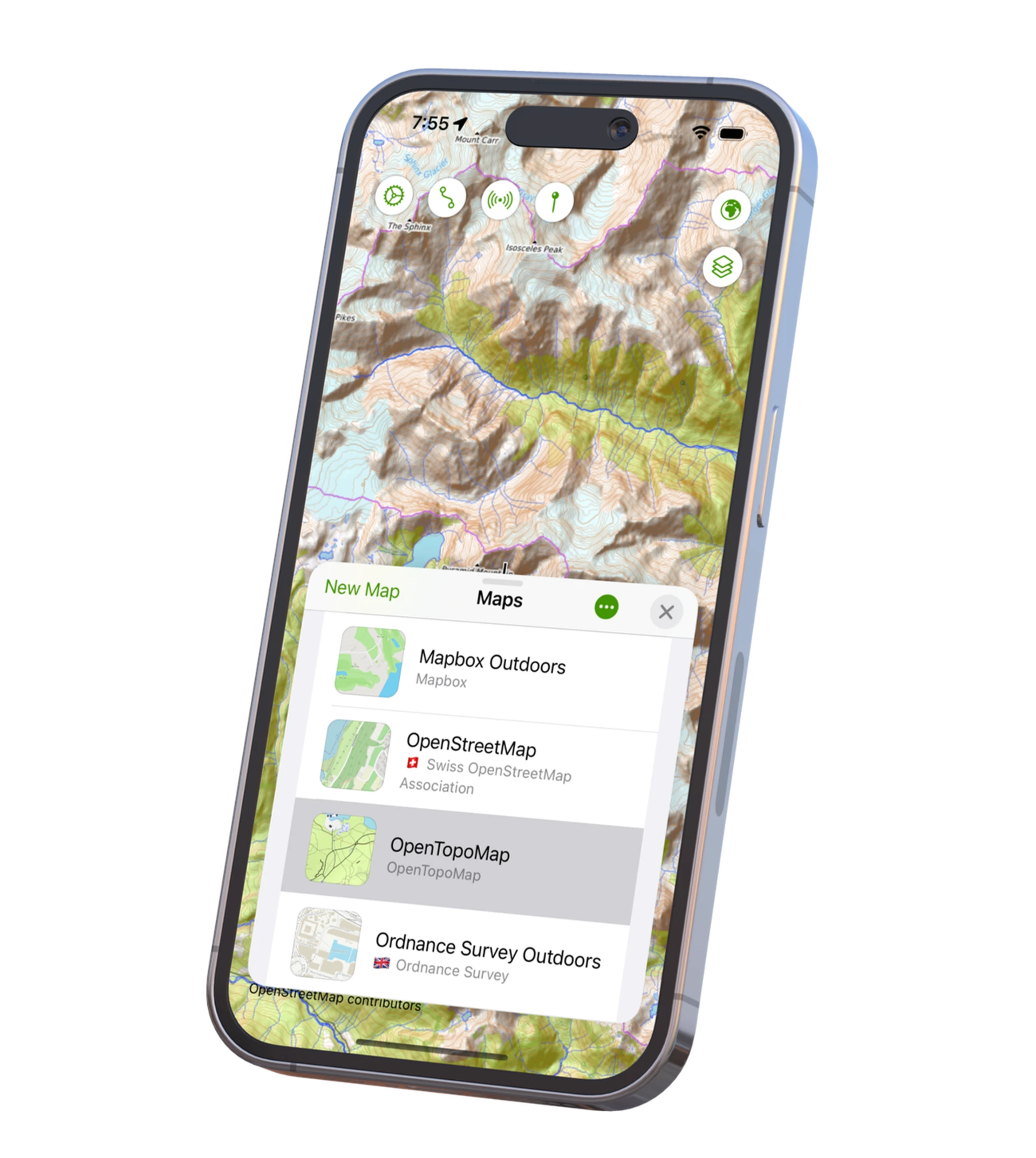
Maptrails is native on iPhone, iPad, Mac and Apple Watch. Recordings can be saved as HealthKit workouts, weather forecasts come from Apple Weather with wind direction and speed, and Look Around shows street-level imagery of trailheads before you commit to the hike. On the Watch, synced tracks work fully offline.

Privacy
Maptrails has no ads and no external analytics — only Apple’s built-in, opt-out App Analytics. Your tracks are not part of anyone’s dataset.
What Komoot does better
Komoot’s automatic routing with sport profiles, turn-by-turn voice navigation, and a large community sharing Highlights and completed tours are strengths that Maptrails does not offer. Komoot also runs on Android and the web. If voice-guided navigation on a bike is the core of your outings, Komoot is built for exactly that.
Pricing
Komoot’s pricing has shifted toward the Komoot Premium subscription.
Maptrails keeps it simple: a free download, and one one-time Maptrails Pro purchase that unlocks everything on all your devices — all maps included, no regions to buy, nothing to renew.
Also compared: AllTrails and OsmAnd.
Try it side by side
Maptrails is a free download, so you can put the topographic maps for your region next to Komoot’s map and judge the difference on terrain you know. The feature list and FAQ cover the details.