AllTrails is a popular hiking app, and has earned that place: a huge community-built database of trails with reviews, photos and difficulty ratings makes it very good at answering the question “where should I hike this weekend?”
Maptrails answers a different question: “what does the terrain actually look like, and how do I keep my own record of it?” It is a topographic map app for iPhone, iPad, Mac and Apple Watch, built around official maps from national mapping agencies and standard GPX files, and sold as a one-time purchase. This article lays out where the two apps overlap, where they differ, and which one fits which kind of hiker.
Where the features overlap
Most of the day-to-day mechanics have a counterpart in both apps:
| In AllTrails | In Maptrails |
|---|---|
| Base and trail maps | Dozens of topographic maps from open data sources — USGS, Swisstopo, Kartverket, Lantmäteriet and more |
| Record an activity | GPS track recording, saved as standard GPX files |
| Offline maps (AllTrails+) | Offline map tile downloads |
| Waypoints | Markers with notes and photos |
| Custom routes | Drawn tracks saved as GPX, plus GPX import and export |
| Apple Watch support | A native Apple Watch app with offline tracks and custom maps |
The maps are the real difference
AllTrails renders one proprietary map style, worldwide. It is clean and consistent, but it is the same map everywhere, and you cannot swap it for anything else.
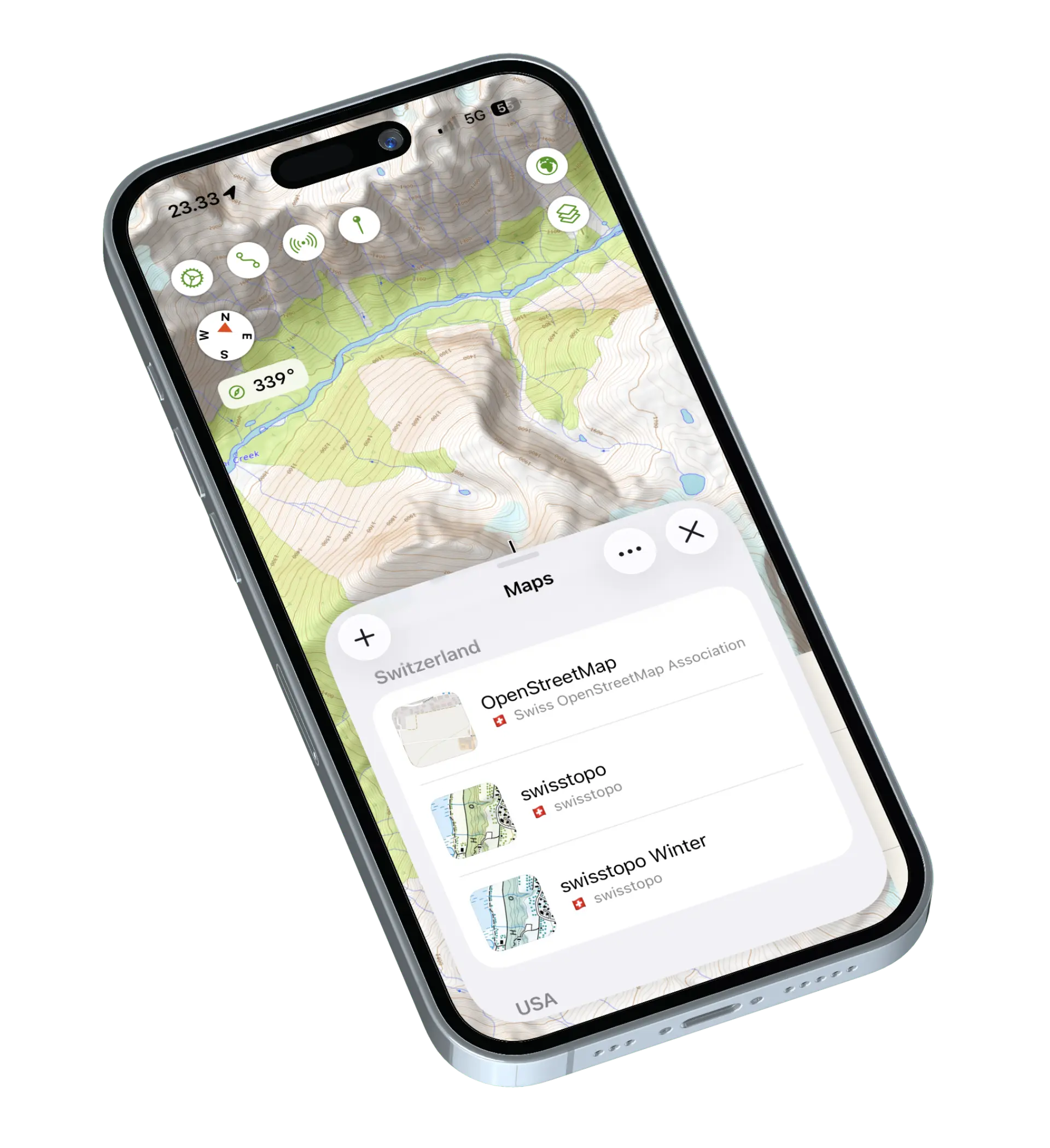
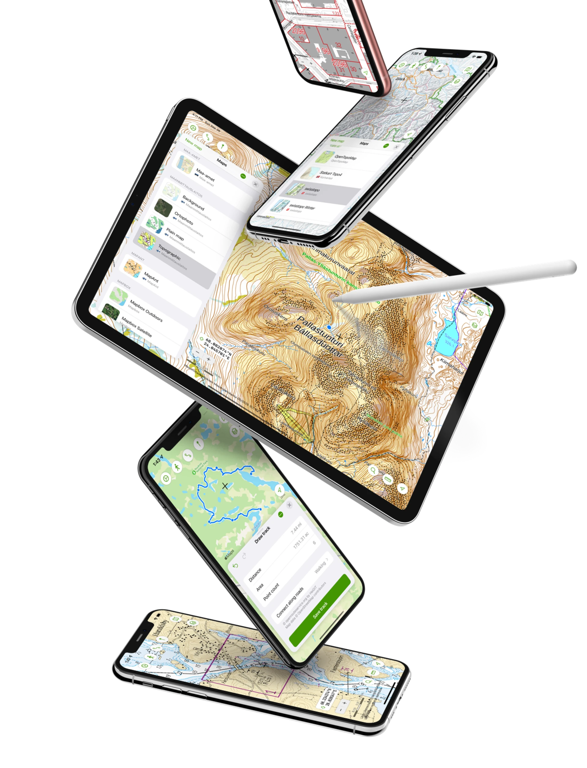
Maptrails takes the opposite approach. It comes preconfigured with the official topographic maps that national mapping agencies publish as open data — USGS Topo in the United States, Swisstopo in Switzerland, Kartverket in Norway, Lantmäteriet in Sweden, the Finnish National Land Survey and many others. In the countries they cover, these are usually the most accurate and detailed maps that exist — they are what local hikers, hunters and rescue services use. Because the data comes from open APIs, none of them require a purchase or subscription in Maptrails.
If the built-in collection is missing something, you can add your own Tile Map, WMTS and WMS sources and overlay GeoJSON and Shapefile layers on top.
Your data stays in open formats
Tracks you record or draw in Maptrails are GPX files — the same files every other outdoor app and device can read. Import them, export them, keep them in folders, sync them over iCloud, or take them to another app entirely. Markers, photos and drawn annotations work the same way: the app was designed to work with the data you already have and never to lock it in.
This is worth weighing if you have years of recorded hikes in AllTrails. You can export individual recordings as GPX there too, but your history, reviews and lists live on their platform.
Built natively for Apple devices
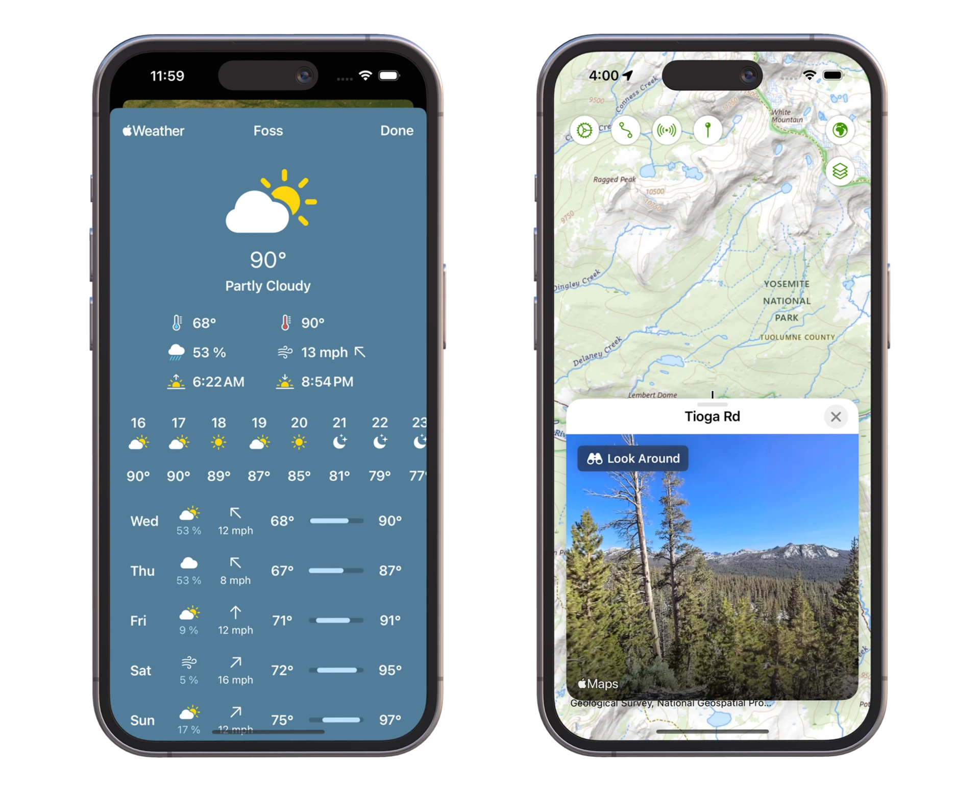
Maptrails is a native app on all four platforms. Plan a route on the big screen of a Mac or iPad, and the result is on your iPhone and Apple Watch when you reach the trailhead. Recordings can be saved as HealthKit workouts, forecasts come from Apple Weather with wind direction and speed, and Look Around gives a street-level preview.
Privacy
Maptrails has no ads and no external analytics — only Apple’s built-in, opt-out App Analytics. Where you hike is nobody’s business but yours.
What AllTrails does better
AllTrails has the community: millions of reviewed trails with photos, conditions and ratings, which Maptrails simply does not have. AllTrails also runs on Android and the web, while Maptrails is Apple-only. If discovering new trails through other people’s experiences is the main thing you use AllTrails for, it remains the right tool for that.
Pricing
The pricing models are difference not only in price. AllTrails is free to download, but its full feature set — offline maps, wrong-turn alerts and more — requires the AllTrails+ subscription, billed yearly for as long as you use it.
Maptrails is a free download with a single one-time Maptrails Pro purchase that unlocks the full app on all your devices. There is nothing to renew.
Also compared: Komoot and OsmAnd.
Try it side by side
The sensible way to decide is to carry both for a hike or two. Maptrails is a free download, so you can browse the maps for your area and get a feel of various features before spending anything. The feature list and FAQ cover the details.